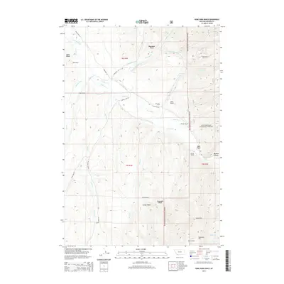
2014 Map of Home Park Ranch
USGS Topo · Published 2014About this map
The Ruby River valley in Madison County defines this landscape, where a sophisticated network of irrigation systems supported high-altitude ranching during the early 21st century. Named features like Snapp Donegan Ditch, Newberry Ditch, and the Larrabee Ditch illustrate the human effort required to divert water across the valley floor to various family-named homesteads. These local landmarks, including Bowman Place, Hale Place, and Tate Place, point to a history of partitioned land use and settlement along the Upper Ruby Rd.
Find a feature on this map
45 named features on this map. Tap any name to fly to it.
Don’t see what you’re looking for? This feature index may not catch every label — zoom into the map to look around manually.
Map Details
Editions of this 2014 Home Park Ranch Map
This is the sole edition of this map. No revisions or reprints were ever made.
Other maps of this area

1888 · Three Forks
USGS Topo · 1:250,000

1893 · Dillon
USGS Topo · 1:250,000

1894 · Three Forks
USGS Topo · 1:250,000

1895 · Three Forks
USGS Topo · 1:250,000

1947 · Bozeman
USGS Topo · 1:250,000

1948 · Bozeman
USGS Topo · 1:250,000

1949 · Varney
USGS Topo · 1:62,500

1950 · Monument Ridge
USGS Topo · 1:62,500

1955 · Bozeman
USGS Topo · 1:250,000

1955 · Dubois
USGS Topo · 1:250,000