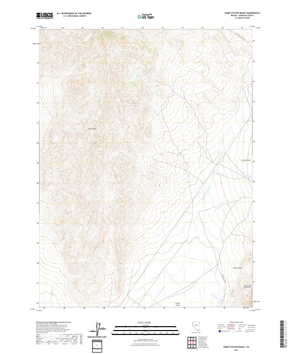
2021 Map of Home Station Ranch
USGS Topo · Published 2021About this map
The Tobin Range dominates the western half of this Pershing County landscape, its high ridges and steep slopes descending eastward into the broad drainage of Jersey Valley. This remote Great Basin terrain is defined by its arid hydrology, where ephemeral flows like Jersey Valley Wash and Jersey Cr Wash cut through the alluvial fans. High-elevation water sources like Indian Springs provided vital points of relief for early travelers and livestock in an otherwise dry environment.
Find a feature on this map
16 named features on this map. Tap any name to fly to it.
Don’t see what you’re looking for? This feature index may not catch every label — zoom into the map to look around manually.
Map Details
Editions of this 2021 Home Station Ranch Map
This is the sole edition of this map. No revisions or reprints were ever made.
Other maps of this area

1932 · Sonoma Range
USGS Topo · 1:250,000

1939 · Sonoma Range
USGS Topo · 1:250,000

1955 · Winnemucca
USGS Topo · 1:250,000

1958 · Winnemucca
USGS Topo · 1:250,000

1961 · Mt. Tobin
USGS Topo · 1:62,500

1961 · Cain Mountain
USGS Topo · 1:62,500

1961 · Mt. Moses
USGS Topo · 1:62,500

1962 · Winnemucca
USGS Topo · 1:250,000

1962 · Buffalo Springs
USGS Topo · 1:62,500

1982 · Fish Creek Mts
USGS Topo · 1:100,000