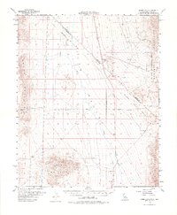
1956 Map of Homer Mtn.
USGS Topo · Published 1975About this map
Fort Piute (Ruins) and the ancient Piute Spring anchor this 1950s study of the high desert along the border of California and Nevada. The map documents a rugged landscape defined by the Piute Range and the Homer Mountains, where historical transit routes like the Old Government Road cut across the arid terrain. The presence of the Von Schmidt Line (1873) provides a rare visual of the original surveyed boundary between the two states, illustrating the challenges of 19th-century geodetic work. To the east, the Lake Mead National Recreational Area reaches into the Newberry Mountains, while scattered industrial markers such as a Shaft and various prospects indicate the region's mining interests. The drainage of the Piute Wash serves as the primary hydrological feature, cutting between the ranges and defining the local topography.
Find a feature on this map
17 named features on this map. Tap any name to fly to it.
Don’t see what you’re looking for? This feature index may not catch every label — zoom into the map to look around manually.
Map Details
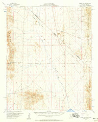
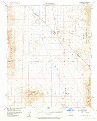
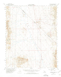
Editions of this 1956 Homer Mtn. Map
4 editions found
Other maps of this area

1886 · Camp Mohave
USGS Topo · 1:250,000

1892 · Camp Mohave
USGS Topo · 1:250,000

1903 · Needles
USGS Topo · 1:125,000

1904 · Needles Special
USGS Topo · 1:125,000

1910 · Ivanpah
USGS Topo · 1:250,000

1912 · Ivanpah
USGS Topo · 1:250,000

1926 · Mohave City
USGS Topo · 1:96,000

1942 · Camp Mohave
USGS Topo · 1:250,000

1942 · Ivanpah
USGS Topo · 1:250,000

1942 · Amboy
USGS Topo · 1:250,000