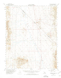
1956 Map of Homer Mtn
USGS Topo · Published 1975About this map
The Fort Piute (Ruins) and nearby Petroglyphs anchor the western edge of this 1956 desert survey, marking a site of deep historical transition. The landscape is defined by the broad Piute Valley between the Piute Range and the Dead Mountains, a corridor traversed by the Old Government Road. This route, vital for nineteenth-century desert travel, passes by the reliable water of Piute Spring.
Find a feature on this map
21 named features on this map. Tap any name to fly to it.
Don’t see what you’re looking for? This feature index may not catch every label — zoom into the map to look around manually.
Map Details
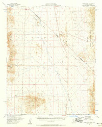
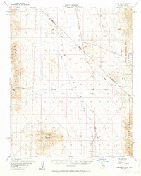
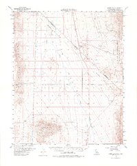
Editions of this 1956 Homer Mtn Map
4 editions found
Other maps of this area

1886 · Camp Mohave
USGS Topo · 1:250,000

1892 · Camp Mohave
USGS Topo · 1:250,000

1903 · Needles
USGS Topo · 1:125,000

1904 · Needles Special
USGS Topo · 1:125,000

1910 · Ivanpah
USGS Topo · 1:250,000

1912 · Ivanpah
USGS Topo · 1:250,000

1926 · Mohave City
USGS Topo · 1:96,000

1942 · Camp Mohave
USGS Topo · 1:250,000

1942 · Ivanpah
USGS Topo · 1:250,000

1942 · Amboy
USGS Topo · 1:250,000