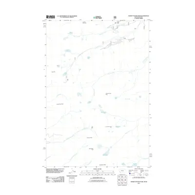
2011 Map of Homer Youngs Peak
USGS Topo · Published 2011About this map
Homer Youngs Peak and the high ridges of the Bitterroot Range define this landscape along the Montana-Idaho border. The 2011 survey reveals a territory shaped by high-altitude mineral extraction, evidenced by the presence of the Slag-A-Melt Mine, the Ajax Mine, and the Ore Cash Mine tucked into the steep drainages. These sites are linked to a complex network of alpine water systems, including the Slag-a-melt Lakes and Rock Island Lakes. The map documents the headwaters of numerous drainages, such as Little Lake Creek and North Fork Kirtley Creek, which flow away from the continental divide formed by peaks like Sacajawea Peaks and Ajax Peak. This record provides an essential look at the remote mining claims and glacial lakes that characterize this border region, from Lake Geneva in the south to the northern slopes of Hirschy Mountain.
Find a feature on this map
34 named features on this map. Tap any name to fly to it.
Don’t see what you’re looking for? This feature index may not catch every label — zoom into the map to look around manually.
Map Details
Editions of this 2011 Homer Youngs Peak Map
This is the sole edition of this map. No revisions or reprints were ever made.
Other maps of this area
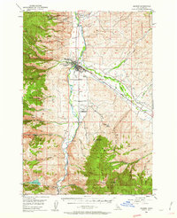
1950 · Salmon
USGS Topo · 1:62,500
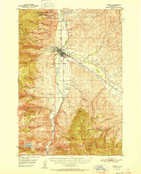
1951 · Salmon
USGS Topo · 1:62,500

1955 · Dillon
USGS Topo · 1:250,000
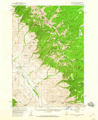
1956 · Goldstone Mtn
USGS Topo · 1:62,500

1957 · Dillon
USGS Topo · 1:250,000

1958 · Dillon
USGS Topo · 1:250,000

1962 · Dillon
USGS Topo · 1:250,000
1965 · Dillon
USGS Topo · 1:250,000
1966 · Badger Spring Gulch
USGS Topo · 1:24,000
1966 · Shewag Lake
USGS Topo · 1:24,000