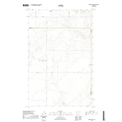
2020 Map of Homestead NW
USGS Topo · Published 2020About this map
Sheridan and Roosevelt counties meet in this high plains landscape of northeastern Montana, where the terrain is marked by drainage patterns like Sauerkraut Coulee and Irish Coulee. The map reveals a strictly regulated grid of section lines and gravel roads that define the rural character of the Fort Kipp District. Genealogists and local historians will find significant landmarks of early settlement, including the Eng Cem in the northwest and the Jacobson Cem along the eastern boundary. The presence of named thoroughfares such as Homestead Rd, Flat Center Rd, and Davis Valley Rd suggests the historical importance of specific homesteading families and the agricultural connectivity required to navigate this portion of the Missouri River watershed.
Find a feature on this map
24 named features on this map. Tap any name to fly to it.
Don’t see what you’re looking for? This feature index may not catch every label — zoom into the map to look around manually.
Map Details
Editions of this 2020 Homestead NW Map
This is the sole edition of this map. No revisions or reprints were ever made.
Other maps of this area

1909 · Smoke Creek
USGS Topo · 1:62,500

1912 · Smoke Creek
USGS Topo · 1:62,500

1914 · Homestead
USGS Topo · 1:62,500

1947 · Rocky Point
USGS Topo · 1:24,000

1947 · Homestead
USGS Topo · 1:24,000

1948 · Homestead
USGS Topo · 1:24,000

1948 · Rocky Point
USGS Topo · 1:24,000

1948 · Alkali Coulee
USGS Topo · 1:24,000

1949 · Alkali Coulee
USGS Topo · 1:24,000

1949 · Johnson Lake
USGS Topo · 1:24,000