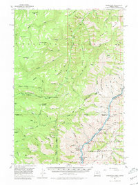
1957 Map of Homestead
USGS Topo · Published 1980About this map
Homestead sits at the base of the canyon along the Snake River, serving as a focal point for this 1957 survey of the borderlands between Oregon and Idaho. The landscape is defined by the deep incisions of the Imnaha River and a complex network of high-elevation landmarks like Morgan Butte and Gumboot Butte. The presence of the Kleinschmidt Grade climbing the eastern canyon walls into Idaho highlights the difficult transport routes necessary to navigate this vertical terrain.
Find a feature on this map
95 named features on this map. Tap any name to fly to it.
Don’t see what you’re looking for? This feature index may not catch every label — zoom into the map to look around manually.
Map Details
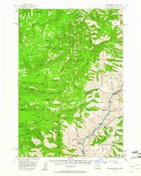
Editions of this 1957 Homestead Map
3 editions found

Other maps of this area

1915 · Pine
USGS Topo · 1:125,000

1920 · Seven Devils Mining District
USGS Topo · 1:48,000

1922 · He Devil
USGS Topo · 1:48,000

1954 · Cornucopia
USGS Topo · 1:62,500

1954 · Harl Butte
USGS Topo · 1:62,500

1955 · Baker
USGS Topo · 1:250,000

1955 · Grangeville
USGS Topo · 1:250,000

1957 · Joseph
USGS Topo · 1:62,500

1957 · Halfway
USGS Topo · 1:62,500

1957 · He Devil
USGS Topo · 1:62,500