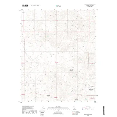
2018 Map of Homewood Canyon
USGS Topo · Published 2018About this map
The Argus Range defines this high-desert landscape in southeastern Inyo County, where steep drainage systems descend toward the Mojave Desert. The map centers on the small settlement and canyon of Homewood Canyon, which serves as a primary access point into the mountains. This 2018 survey reveals a terrain defined by its water sources, with numerous named springs such as Bircham Springs, Ruby Spring, and Coyote Spring scattered throughout the canyons.
Find a feature on this map
38 named features on this map. Tap any name to fly to it.
Don’t see what you’re looking for? This feature index may not catch every label — zoom into the map to look around manually.
Map Details
Editions of this 2018 Homewood Canyon Map
This is the sole edition of this map. No revisions or reprints were ever made.
Other maps of this area

1908 · Ballarat
USGS Topo · 1:250,000

1913 · Ballarat
USGS Topo · 1:250,000

1915 · Searles Lake
USGS Topo · 1:250,000

1947 · Trona
USGS Topo · 1:250,000

1948 · Trona
USGS Topo · 1:250,000

1948 · Death Valley
USGS Topo · 1:250,000

1949 · Trona
USGS Topo · 1:62,500

1950 · Trona
USGS Topo · 1:62,500

1951 · Maturango Peak
USGS Topo · 1:62,500

1951 · Coso Peak
USGS Topo · 1:62,500