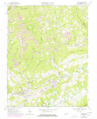
1968 Map of Honaker
USGS Topo · Published 1978About this map
The Clinch River carves a deep path through the coal-rich mountains of Southwest Virginia in this late 1960s study, updated with 1970s revisions. The rail-and-river economy is centered on the Norfolk and Western line, which follows the river's bend through Honaker and past industrial sites like Putnam and Gardner. Evidence of the region’s mineral industry is everywhere, with numerous Strip Mines and quarries dotting the ridges near Drill and Dye.
Find a feature on this map
72 named features on this map. Tap any name to fly to it.
Don’t see what you’re looking for? This feature index may not catch every label — zoom into the map to look around manually.
Map Details
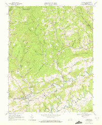
Editions of this 1968 Honaker Map
2 editions found
Other maps of this area

1886 · Grundy
USGS Topo · 1:125,000

1890 · Grundy
USGS Topo · 1:125,000

1891 · Tazewell
USGS Topo · 1:125,000

1891 · Abingdon
USGS Topo · 1:125,000

1892 · Grundy
USGS Topo · 1:125,000

1894 · Abingdon
USGS Topo · 1:125,000

1895 · Tazewell
USGS Topo · 1:125,000

1897 · Tazewell
USGS Topo · 1:125,000

1897 · Bristol
USGS Topo · 1:125,000

1902 · Bristol
USGS Topo · 1:125,000