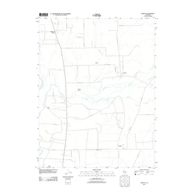
2012 Map of Honcut
USGS Topo · Published 2012About this map
Agricultural lands and low-lying watercourses define the landscape of northern California in this early twenty-first-century survey. The western edge is bounded by the Feather River, while a network of seasonal and permanent creeks, including N Honcut Cr and S Honcut Cr, drain the region's flat valley floor. Local life is centered on established crossroads and rural settlements like Honcut, Craig, and Robinsons Corner, where the road grid interfaces with natural features such as the Wyman Ravine. South of Ramirez, the terrain becomes increasingly wetland-oriented near the Simmerly Slough. Large-scale land use is evident at La Finca Orchards and Pacific Ranch, illustrating the area's continued reliance on the fertile soil and complex hydrology of the Sacramento Valley drainage basin.
Find a feature on this map
35 named features on this map. Tap any name to fly to it.
Don’t see what you’re looking for? This feature index may not catch every label — zoom into the map to look around manually.
Map Details
Editions of this 2012 Honcut Map
This is the sole edition of this map. No revisions or reprints were ever made.
Other maps of this area

1888 · Marysville
USGS Topo · 1:125,000

1888 · Smartsville
USGS Topo · 1:125,000

1891 · Marysville
USGS Topo · 1:125,000

1891 · Smartsville
USGS Topo · 1:125,000

1892 · Smartsville
USGS Topo · 1:125,000

1894 · Smartsville
USGS Topo · 1:125,000

1894 · Marysville
USGS Topo · 1:125,000

1895 · Marysville
USGS Topo · 1:125,000

1895 · Smartsville
USGS Topo · 1:125,000

1911 · Sutter
USGS Topo · 1:31,680