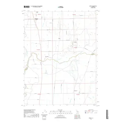
2018 Map of Honcut
USGS Topo · Published 2018About this map
The agrarian borderlands of Butte and Yuba Counties are defined by an intricate network of waterways and irrigation channels. Honcut Creek and its major tributaries, including North Honcut Creek, South Honcut Creek, and Wilson Creek, carve through the landscape south of the Feather River. This drainage system supported a legacy of small ranching and farming settlements, many of which are preserved as distinct communities such as Honcut, Robinsons Corner, and Ramirez. In the northern reaches, Wyman Ravine and Wyandotte Creek provide natural drainage toward the central valley floor.
Find a feature on this map
50 named features on this map. Tap any name to fly to it.
Don’t see what you’re looking for? This feature index may not catch every label — zoom into the map to look around manually.
Map Details
Editions of this 2018 Honcut Map
This is the sole edition of this map. No revisions or reprints were ever made.
Other maps of this area

1888 · Marysville
USGS Topo · 1:125,000

1888 · Smartsville
USGS Topo · 1:125,000

1891 · Marysville
USGS Topo · 1:125,000

1891 · Smartsville
USGS Topo · 1:125,000

1892 · Smartsville
USGS Topo · 1:125,000

1894 · Smartsville
USGS Topo · 1:125,000

1894 · Marysville
USGS Topo · 1:125,000

1895 · Marysville
USGS Topo · 1:125,000

1895 · Smartsville
USGS Topo · 1:125,000

1911 · Sutter
USGS Topo · 1:31,680