
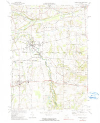
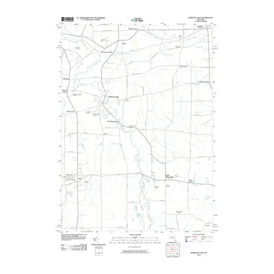
2023 Map of Honeoye Falls
USGS Topo · Published 2023About this map
Honeoye Creek meanders through this landscape, marking the transition between Monroe, Livingston, and Ontario counties. The village of Honeoye Falls serves as a central hub, surrounded by a high concentration of burial sites such as the Saint Paul of the Cross Cem and the North Bloomfield Cem. To the north, Rochester Junction remains a notable point of reference near Junction Hill, while to the south, the village of Lima is home to the Presbyterian Church and several educational landmarks at College Hill. The terrain is punctuated by significant elevations like Woodchuck Hill and Taft Hill, overlooking a series of glacial water bodies including Round Pond and Mud Pond. This modern survey documents the persistent rural character of these Finger Lakes region borderlands, from the residential clusters at Bush Corner and Tomlinson Corners to the active runways at Skyview Airport.
Find a feature on this map
75 named features on this map. Tap any name to fly to it.
Don’t see what you’re looking for? This feature index may not catch every label — zoom into the map to look around manually.
Map Details
Editions of this 2023 Honeoye Falls Map
This is the sole edition of this map. No revisions or reprints were ever made.
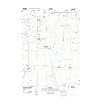
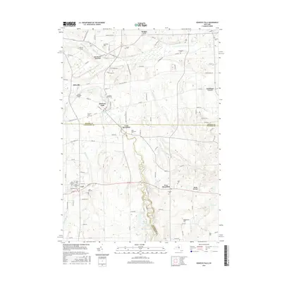
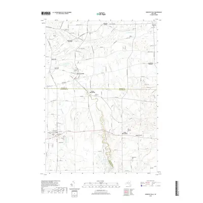
Historical Maps of Mendon Through Time
9 maps found
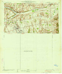
1934 Honeoye Falls
Monroe County, NY
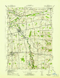
1942 Honeoye Falls
Monroe County, NY
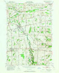
1951 Honeoye Falls
Monroe County, NY
1971 Honeoye Falls
Monroe County, NY
2010 Honeoye Falls
Monroe County, NY
2013 Honeoye Falls
Monroe County, NY
2016 Honeoye Falls
Monroe County, NY
2019 Honeoye Falls
Monroe County, NY
2023 Honeoye Falls
Monroe County, NY