
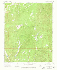
1961 Map of Honey Boy Ranch
USGS Topo · Published 1966About this map
Santa Fe National Forest encompasses the majority of this high-elevation landscape, where a network of valleys and waterways define the local geography. The central drainage of Rito de la Quemazon and Rito del Medio feed into the prominent Rito Manzanares, which flows past the Honey Boy Ranch. Private holdings like the Emerson Ranch appear as small clearings within the timbered reaches of the Sangre de Cristo Mountains during the early 1960s.
Find a feature on this map
30 named features on this map. Tap any name to fly to it.
Don’t see what you’re looking for? This feature index may not catch every label — zoom into the map to look around manually.
Map Details
Editions of this 1961 Honey Boy Ranch Map
3 editions found
Other maps of this area

1889 · Las Vegas
USGS Topo · 1:125,000

1889 · Santa Fe
USGS Topo · 1:125,000

1891 · Las Vegas
USGS Topo · 1:125,000

1893 · Las Vegas
USGS Topo · 1:125,000

1894 · Santa Fe
USGS Topo · 1:125,000

1954 · Santa Fe
USGS Topo · 1:250,000

1958 · Santa Fe
USGS Topo · 1:250,000

1961 · San Geronimo
USGS Topo · 1:24,000

1961 · El Porvenir
USGS Topo · 1:24,000

1961 · Rosilla Peak
USGS Topo · 1:24,000