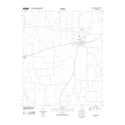
2010 Map of Honey Grove
USGS Topo · Published 2010About this map
The town of Honey Grove sits as the central hub of this eastern Fannin County landscape, defined by a dense grid of residential streets and the nearby Oakwood Cemetery. The surrounding countryside is a network of small watercourses and rural roads that supported the agricultural character of the region into the twenty-first century. Water management is evident just north of the city at the Honey Grove City Lake Dam, which regulates Honey Grove Creek. To the west, the smaller settlement of Windom occupies the intersection of major transit lines, while the terrain is dissected by numerous drainages including Sanders Creek, McClure Creek, and Cottonwood Creek. The high concentration of named creeks like Bralley Pool Creek and Merrill Creek suggests a landscape historically shaped by its proximity to these various local watersheds.
Find a feature on this map
56 named features on this map. Tap any name to fly to it.
Don’t see what you’re looking for? This feature index may not catch every label — zoom into the map to look around manually.
Map Details
Editions of this 2010 Honey Grove Map
This is the sole edition of this map. No revisions or reprints were ever made.
Other maps of this area

1903 · Paris
USGS Topo · 1:125,000

1947 · Honey Grove
USGS Topo · 1:62,500

1949 · Honey Grove
USGS Topo · 1:62,500

1953 · Texarkana
USGS Topo · 1:250,000

1954 · Sherman
USGS Topo · 1:250,000

1956 · Texarkana
USGS Topo · 1:250,000

1958 · Bonham
USGS Topo · 1:62,500

1958 · Sherman
USGS Topo · 1:250,000

1964 · Ladonia
USGS Topo · 1:24,000

1964 · Pecan Gap
USGS Topo · 1:24,000