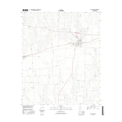
2016 Map of Honey Grove
USGS Topo · Published 2016About this map
Honey Grove and Windom anchor this portion of Fannin County, illustrating the typical settlement patterns of the Texas blackland prairies. The street grid of Honey Grove is clearly defined by historical thoroughfares such as Main St E, Pecan St, and Market St W, surrounding the town's central core. Near the northern edge of the settlement, Oakwood Cem and the Honey Grove City Lake serve as primary community landmarks.
Find a feature on this map
77 named features on this map. Tap any name to fly to it.
Don’t see what you’re looking for? This feature index may not catch every label — zoom into the map to look around manually.
Map Details
Editions of this 2016 Honey Grove Map
This is the sole edition of this map. No revisions or reprints were ever made.
Other maps of this area

1903 · Paris
USGS Topo · 1:125,000

1947 · Honey Grove
USGS Topo · 1:62,500

1949 · Honey Grove
USGS Topo · 1:62,500

1953 · Texarkana
USGS Topo · 1:250,000

1954 · Sherman
USGS Topo · 1:250,000

1956 · Texarkana
USGS Topo · 1:250,000

1958 · Bonham
USGS Topo · 1:62,500

1958 · Sherman
USGS Topo · 1:250,000

1964 · Ladonia
USGS Topo · 1:24,000

1964 · Pecan Gap
USGS Topo · 1:24,000