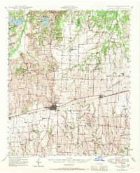
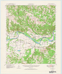
1947 Map of Honey Grove
USGS Topo · Published 1970About this map
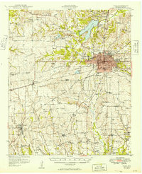
The Texas and Pacific Railroad cuts a straight path through the heart of Fannin and Lamar counties, anchoring the commercial centers of Honey Grove and Petty. This late-1940s landscape is defined by its agrarian density, evidenced by the high concentration of rural schools and churches that served dispersed farming families. Settlements like Tigertown, Windom, and Allen Point are surrounded by a network of educational landmarks such as Michigan Prairie School and Allen Chapel School.
Find a feature on this map
73 named features on this map. Tap any name to fly to it.
Don’t see what you’re looking for? This feature index may not catch every label — zoom into the map to look around manually.
Map Details
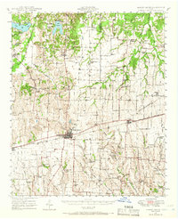
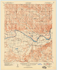
Editions of this 1947 Honey Grove Map
2 editions found
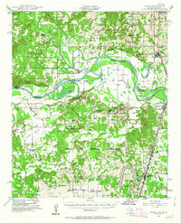
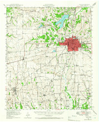
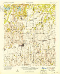
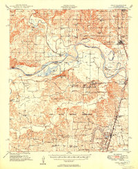
Other maps of this area

1903 · Paris
USGS Topo · 1:125,000
1947 · Honey Grove
USGS Topo · 1:62,500
1948 · Grant
USGS Topo · 1:62,500
1948 · Paris
USGS Topo · 1:62,500
1948 · Direct
USGS Topo · 1:62,500
1949 · Direct
USGS Topo · 1:62,500
1949 · Honey Grove
USGS Topo · 1:62,500
1949 · Grant
USGS Topo · 1:62,500
1949 · Paris
USGS Topo · 1:62,500

1953 · Texarkana
USGS Topo · 1:250,000