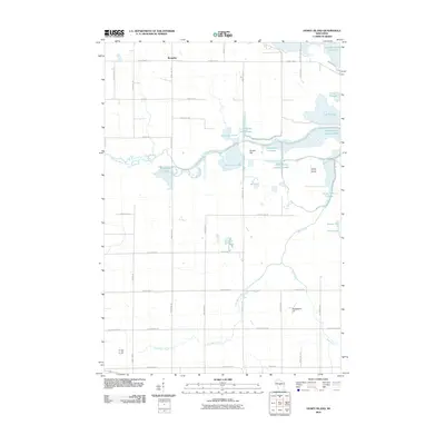
2010 Map of Honey Island
USGS Topo · Published 2010About this map
Honey Island and the surrounding marshlands of Wood County define this 2010 survey of the Little Eau Pleine River basin. This landscape is a complex network of managed water, characterized by numerous impoundments and flowages such as Fisher Flowage, Teal Flowage, and North Rice Lake. The small settlement of Rangeline sits in the northwest corner, marking a transition from traditional agriculture to the watery reaches of the Big Eau Pleine Reservoir. Human industry is etched into the terrain at the Soapstone Pit, while the natural topography rises slightly at Smoky Hill. The map meticulously details a geometric road grid, including Range Line Rd and County Hwy-C, which navigate between unique features like Ten Pool and Pool Fifteen.
Find a feature on this map
50 named features on this map. Tap any name to fly to it.
Don’t see what you’re looking for? This feature index may not catch every label — zoom into the map to look around manually.
Map Details
Editions of this 2010 Honey Island Map
This is the sole edition of this map. No revisions or reprints were ever made.
Other maps of this area

1902 · Marathon
USGS Topo · 1:125,000

1953 · Marathon
USGS Topo · 1:48,000

1953 · Stratford
USGS Topo · 1:48,000

1953 · Eau Claire
USGS Topo · 1:250,000

1954 · Marshfield
USGS Topo · 1:62,500

1955 · Green Bay
USGS Topo · 1:250,000

1956 · Milladore
USGS Topo · 1:48,000

1958 · Eau Claire
USGS Topo · 1:250,000

1963 · Marathon
USGS Topo · 1:62,500

1963 · Stratford
USGS Topo · 1:62,500