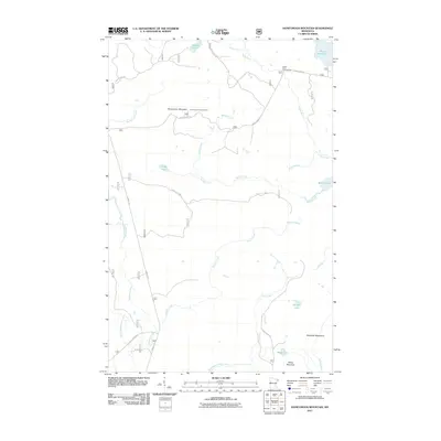
2011 Map of Honeymoon Mountain
USGS Topo · Published 2011About this map
Honeymoon Mountain and the Sawtooth Mountains define the high terrain of Tofte Township in this 2011 survey of Cook County. The landscape is characterized by a dense network of water bodies and tributary streams, including the south-flowing Temperance River and the Poplar River. Near the summit of the central peak, the Honeymoon Lookout Tower stands as a significant landmark for forest observation. The map reveals a transition toward recreational land use in the Superior National Forest area, evidenced by the Poplar River Campground and a web of maintained routes such as the Sawbill Trl and Honeymoon Trl. Numerous small lakes, including Pancore Lake, Frisk Lake, and Bradley Lake, are scattered throughout the timbered highlands, connected by drainage systems like Barker Creek and Sixmile Creek.
Find a feature on this map
27 named features on this map. Tap any name to fly to it.
Don’t see what you’re looking for? This feature index may not catch every label — zoom into the map to look around manually.
Map Details
Editions of this 2011 Honeymoon Mountain Map
This is the sole edition of this map. No revisions or reprints were ever made.
Other maps of this area

1919 · Brule Lake
USGS Topo · 1:62,500

1919 · Lutsen
USGS Topo · 1:62,500

1954 · Two Harbors
USGS Topo · 1:250,000

1955 · Tofte
USGS Topo · 1:24,000

1955 · Schroeder
USGS Topo · 1:24,000

1955 · Tofte
USGS Topo · 1:62,500

1957 · Two Harbors
USGS Topo · 1:250,000

1958 · Two Harbors
USGS Topo · 1:250,000

1959 · Lutsen
USGS Topo · 1:24,000

1960 · Tait Lake
USGS Topo · 1:24,000