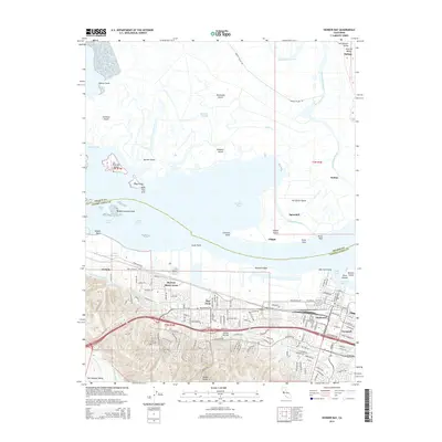
2015 Map of Honker Bay
USGS Topo · Published 2015About this map
The tidal landscape of Suisun Bay and its complex network of islands and sloughs dominate this 2015 study. The northern section is defined by a mosaic of low-lying terrain including Hammond Island, Simmons Island, and Van Sickle Island, separated by the winding Montezuma Slough. These marshlands sit just south of the Sacramento Valley and Central Valley entrance, reflecting the intricate geography of the Sacramento-San Joaquin River Delta.
Find a feature on this map
93 named features on this map. Tap any name to fly to it.
Don’t see what you’re looking for? This feature index may not catch every label — zoom into the map to look around manually.
Map Details
Editions of this 2015 Honker Bay Map
This is the sole edition of this map. No revisions or reprints were ever made.
Other maps of this area

1896 · Carquinez Strait
USGS Topo · 1:62,500

1896 · Mt. Diablo
USGS Topo · 1:62,500

1897 · Concord
USGS Topo · 1:62,500

1898 · Karquines
USGS Topo · 1:62,500

1898 · Mt. Diablo
USGS Topo · 1:62,500

1901 · Karquines
USGS Topo · 1:62,500

1902 · Napa
USGS Topo · 1:125,000

1907 · Antioch
USGS Topo · 1:62,500

1908 · Antioch
USGS Topo · 1:62,500

1915 · Concord
USGS Topo · 1:62,500