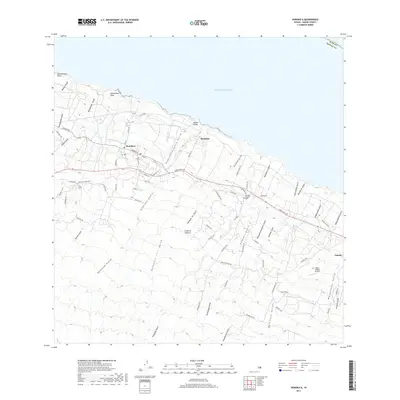
2017 Map of Honokaa
USGS Topo · Published 2017About this map
Honoka‘a serves as the primary hub on this coastal Hamakua District landscape, where the land drops precipitously through a series of dramatic gulches toward the Pacific Ocean. The settlement pattern reflects the area's agricultural heritage, with Paauhau and Paauilo situated along the coastal shelf, connected by the Hawaii Belt Rd and the utilitarian Cane Haul Rd. The terrain is defined by a dense network of erosional features, from the deep Kahawaili‘ili‘i Gulch to the remote Hanaipoe Gulch in the upland regions. Genealogy and local history are anchored by landmarks like the Kalopa Catholic Cem and the Upper Paauilo Airstrip, which sit amidst a grid of local roads like Kalopa Mauka Rd and Paauilo Mauka Rd that climb into the higher elevations of the Island of Hawai‘i.
Find a feature on this map
79 named features on this map. Tap any name to fly to it.
Don’t see what you’re looking for? This feature index may not catch every label — zoom into the map to look around manually.
Map Details
Editions of this 2017 Honokaa Map
This is the sole edition of this map. No revisions or reprints were ever made.
Other maps of this area

1915 · Hamakua
USGS Topo · 1:62,500

1916 · Waipio
USGS Topo · 1:62,500

1954 · Hawaii North
USGS Topo · 1:250,000

1956 · Keanakolu
USGS Topo · 1:24,000

1956 · Makahalau
USGS Topo · 1:24,000

1956 · Umikoa
USGS Topo · 1:24,000

1957 · Kukaiau
USGS Topo · 1:24,000

1957 · Honokaa
USGS Topo · 1:24,000

1959 · Hawaii North
USGS Topo · 1:250,000

1961 · Hawaii North
USGS Topo · 1:250,000