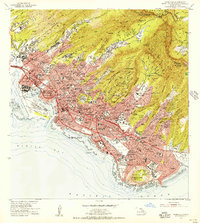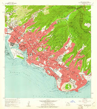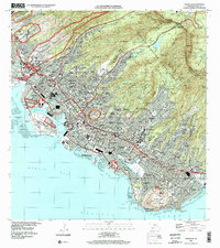
1969 Map of Honolulu
USGS Topo · Published 1971About this map
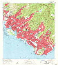
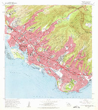
The dense urban expansion of late-1960s Honolulu climbs the ridges of the Koolau Range and crowds the shoreline from Kalihi Kai to Kahala. This detailed survey captures the city's complex topography, where residential developments like Wilhelmina Rise and Alewa Heights are framed by the deep incisions of the Nuuanu Stream and Manoa Stream. The volcanic architecture of the island is prominently represented by the crater at Punchbowl and the Diamond Head State Monument, which anchor the city's eastern and central residential districts. Along the coast, the commercial heart beats near Honolulu Harbor and the Aloha Tower, while the leisure-driven landscape of Waikiki is defined by the Ala Wai Canal and Kapiolani Park. This era shows a mature institutional landscape, including the sprawling campus of the University of Hawaii and several military installations such as Fort Shafter and Fort De Russy.
Find a feature on this map
149 named features on this map. Tap any name to fly to it.
Don’t see what you’re looking for? This feature index may not catch every label — zoom into the map to look around manually.
Map Details
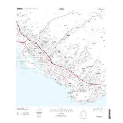
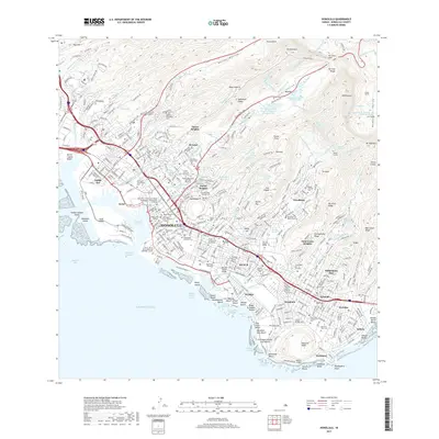
Editions of this 1969 Honolulu Map
2 editions found
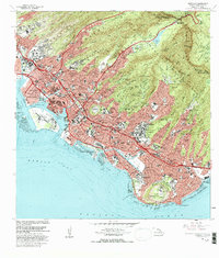
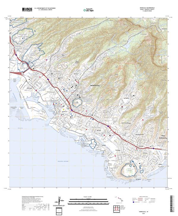
Historical Maps of Honolulu Through Time
9 maps found