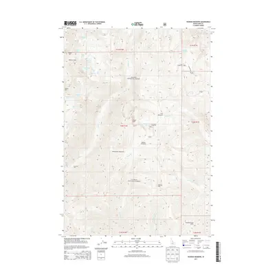
2013 Map of Hoodoo Meadows
USGS Topo · Published 2013About this map
Hoodoo Meadows sits at the heart of this high-elevation wilderness within the Salmon National Forest. The landscape is defined by the sharp granite architecture of the Bighorn Crags in the northwest, which creates a basin for a cluster of alpine waters including Skyhigh Lake, Reflection Lake, and Turquoise Lake. This 2013 survey illustrates the remote character of Lemhi County, where human presence is largely limited to backcountry infrastructure such as Snowshoes Cabin and a few established sites like Crags Campground. The drainage patterns are clearly delineated, showing the headwaters of Wilson Cr and the Yellowjacket Cr flowing from the slopes of the Yellowjacket Mountains. The inclusion of Cathedral Rock Rd provides a sense of the limited access points into this high-country terrain.
Find a feature on this map
41 named features on this map. Tap any name to fly to it.
Don’t see what you’re looking for? This feature index may not catch every label — zoom into the map to look around manually.
Map Details
Editions of this 2013 Hoodoo Meadows Map
This is the sole edition of this map. No revisions or reprints were ever made.
Other maps of this area

1930 · Casto
USGS Topo · 1:125,000

1950 · Blackbird Mtn
USGS Topo · 1:62,500

1951 · Blackbird Mtn
USGS Topo · 1:62,500

1956 · Elk City
USGS Topo · 1:250,000

1957 · Challis
USGS Topo · 1:250,000

1960 · Elk City
USGS Topo · 1:250,000

1960 · Challis
USGS Topo · 1:250,000

1962 · Hoodoo Meadows
USGS Topo · 1:24,000

1962 · Puddin Mtn
USGS Topo · 1:24,000

1962 · Aggipah Mtn
USGS Topo · 1:24,000