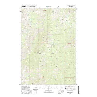
2017 Map of Hoodoo Meadows
USGS Topo · Published 2017About this map
Salmon National Forest preserves a remote landscape of the Yellowjacket Mountains in Lemhi County, defined by a dense network of high-altitude water bodies. To the north, the Bighorn Crags overlook a cluster of named basins including Skyhigh Lake, Turquoise Lake, and Reflection Lake. This 2017 survey details the drainage patterns of Wilson Creek and Hoodoo Creek, which serve as the primary hydrologic arteries through the center of the quadrangle.
Find a feature on this map
48 named features on this map. Tap any name to fly to it.
Don’t see what you’re looking for? This feature index may not catch every label — zoom into the map to look around manually.
Map Details
Editions of this 2017 Hoodoo Meadows Map
This is the sole edition of this map. No revisions or reprints were ever made.
Other maps of this area

1930 · Casto
USGS Topo · 1:125,000

1950 · Blackbird Mtn
USGS Topo · 1:62,500

1951 · Blackbird Mtn
USGS Topo · 1:62,500

1956 · Elk City
USGS Topo · 1:250,000

1957 · Challis
USGS Topo · 1:250,000

1960 · Elk City
USGS Topo · 1:250,000

1960 · Challis
USGS Topo · 1:250,000

1962 · Hoodoo Meadows
USGS Topo · 1:24,000

1962 · Puddin Mtn
USGS Topo · 1:24,000

1962 · Aggipah Mtn
USGS Topo · 1:24,000