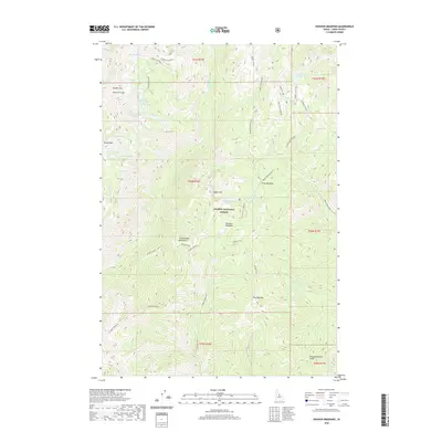
2020 Map of Hoodoo Meadows
USGS Topo · Published 2020About this map
Hoodoo Meadows occupies a high-elevation plateau within the Salmon National Forest, serving as a central point for a network of backcountry routes including the Hoodoo Trail. This subalpine landscape is characterized by a high density of glacial lakes, with Skyhigh Lake, Turquoise Lake, and Golden Trout Lake tucked among the prominent ridges of the Bighorn Crags and Yellowjacket Mountains.
Find a feature on this map
46 named features on this map. Tap any name to fly to it.
Don’t see what you’re looking for? This feature index may not catch every label — zoom into the map to look around manually.
Map Details
Editions of this 2020 Hoodoo Meadows Map
This is the sole edition of this map. No revisions or reprints were ever made.
Other maps of this area

1930 · Casto
USGS Topo · 1:125,000

1950 · Blackbird Mtn
USGS Topo · 1:62,500

1951 · Blackbird Mtn
USGS Topo · 1:62,500

1956 · Elk City
USGS Topo · 1:250,000

1957 · Challis
USGS Topo · 1:250,000

1960 · Elk City
USGS Topo · 1:250,000

1960 · Challis
USGS Topo · 1:250,000

1962 · Hoodoo Meadows
USGS Topo · 1:24,000

1962 · Puddin Mtn
USGS Topo · 1:24,000

1962 · Aggipah Mtn
USGS Topo · 1:24,000