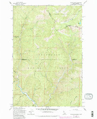
1965 Map of Hoodoo Pass
USGS Topo · Published 1984About this map
Hoodoo Pass sits at the high-elevation divide between Idaho and Montana, serving as a primary focal point for this wilderness survey. The terrain is defined by the massive Clearwater Ridge and the deep drainage of the North Fork Clearwater River, which flows through the southwestern portion of the map. High alpine features like Hoodoo Lake and Hoodoo Meadows characterize the northeast corner, where a lone Radio Tower stands as a rare modern fixture in the backcountry. A network of historical access routes, including the Mineral Co Shoshone Co Trail and the Rawhide Trail, reflects the area's history of forest management and packing. These trails follow the high ridges and steep gulches, connecting named landmarks such as Trap Point and Short Point. The map illustrates a complex intersection of administrative boundaries within the Lolo National Forest and Clearwater National Forest.
Find a feature on this map
32 named features on this map. Tap any name to fly to it.
Don’t see what you’re looking for? This feature index may not catch every label — zoom into the map to look around manually.
Map Details
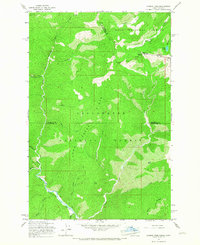
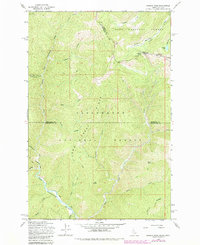
Editions of this 1965 Hoodoo Pass Map
Other maps of this area

1911 · Lolo
USGS Topo · 1:250,000

1913 · Lolo
USGS Topo · 1:250,000

1918 · St Regis
USGS Topo · 1:125,000

1919 · St. Regis
USGS Topo · 1:125,000

1956 · Wallace
USGS Topo · 1:250,000

1956 · Hamilton
USGS Topo · 1:250,000

1957 · Illinois Peak
USGS Topo · 1:62,500

1959 · Hamilton
USGS Topo · 1:250,000

1960 · Wallace
USGS Topo · 1:250,000

1960 · Hamilton
USGS Topo · 1:250,000