1945 Map of Hooker
USGS Topo · Published 1968About this map
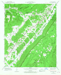
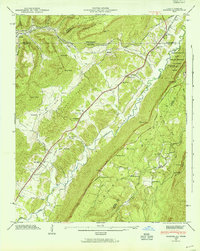
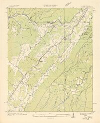
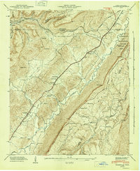
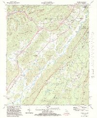
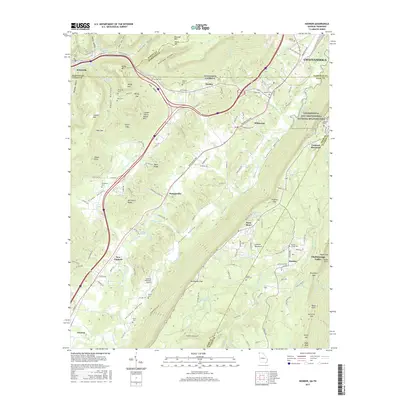
Lookout Mountain and Sand Mountain dominate the terrain in this 1945 field examination, with the state line cutting through the northern valleys of Dade County and Hamilton County. The transportation network of the era is defined by the Nashville Chattanooga and St Louis Railway and the Southern Railway, which parallel the winding path of Lookout Creek. Small rural communities like Hooker, Morganville, and Wildwood serve as anchors for local life, while the Chickamauga and Chattanooga National Military Park preserves the higher elevations. The map provides a detailed view of social infrastructure, locating numerous country churches such as Bethlehem Ch and Sarah Chapel, alongside educational sites like the North Dade Sch. The distribution of family burial grounds, including Magill Cem and Summit Cem, offers essential data for local genealogical research.
Find a feature on this map
65 named features on this map. Tap any name to fly to it.
Don’t see what you’re looking for? This feature index may not catch every label — zoom into the map to look around manually.
Map Details
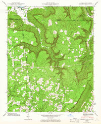
Editions of this 1945 Hooker Map
2 editions found
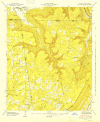
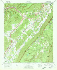
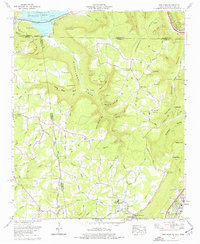
Historical Maps of Chattanooga Through Time
20 maps found
1936 Hooker
Dade County, GA

1936 Shellmound
Dade County, GA
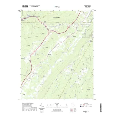
1945 Hooker
Dade County, GA
1945 Shellmound
Dade County, GA
1946 Hooker
Dade County, GA
1946 Shellmound
Dade County, GA
1970 Hooker
Dade County, GA
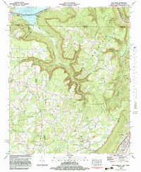
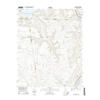
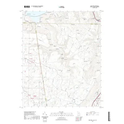
1970 New Home
Dade County, GA
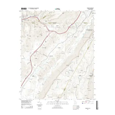
1982 Hooker
Dade County, GA
1982 New Home
Dade County, GA
2010 Hooker
Dade County, GA
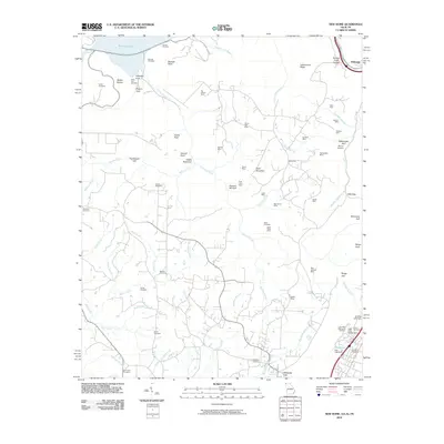
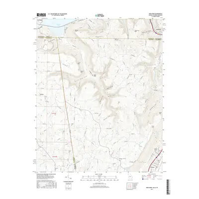
2010 New Home
Dade County, GA
2014 Hooker
Dade County, GA
2014 New Home
Dade County, GA
2017 Hooker
Dade County, GA
2017 New Home
Dade County, GA
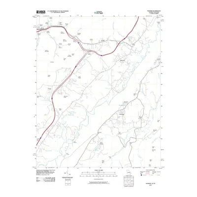
2020 Hooker
Dade County, GA
2020 New Home
Dade County, GA
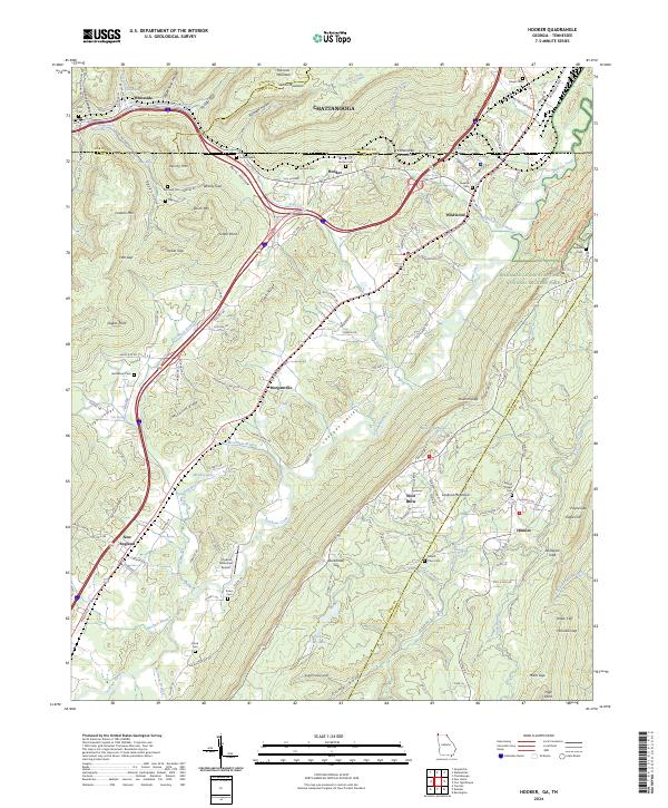
2024 Hooker
Dade County, GA
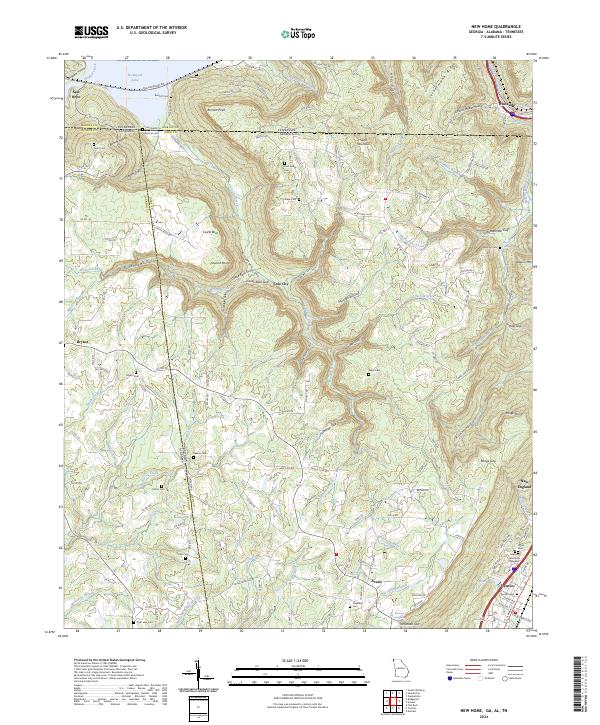
2024 New Home
Dade County, GA