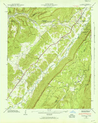
1945 Map of Hooker
USGS Topo · Published 1954About this map
Lookout Mountain and Raccoon Mountain dominate the corridor where the borders of Georgia and Tennessee meet, creating a landscape defined by steep ridges and narrow valleys. This mid-century survey illustrates the rural infrastructure of Dade County and the surrounding region, where small communities like Wildwood and Morganville developed along the primary transportation routes. The Southern railroad and the Nashville Chattanooga And ST Louis line parallel the watercourses of Lookout Creek and Running Water Creek, reflecting the importance of rail in navigating the gaps and hollows of the Appalachian foothills.
Find a feature on this map
69 named features on this map. Tap any name to fly to it.
Don’t see what you’re looking for? This feature index may not catch every label — zoom into the map to look around manually.
Map Details
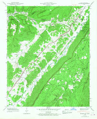
Editions of this 1945 Hooker Map
2 editions found
Other maps of this area

1886 · Ringgold
USGS Topo · 1:125,000

1886 · Stevenson
USGS Topo · 1:125,000

1888 · Chattanooga
USGS Topo · 1:125,000

1892 · Ringgold
USGS Topo · 1:125,000

1892 · Stevenson
USGS Topo · 1:125,000

1893 · Chattanooga
USGS Topo · 1:125,000

1895 · Stevenson
USGS Topo · 1:125,000

1895 · Sewanee
USGS Topo · 1:125,000

1935 · Durham
USGS Topo · 1:24,000

1936 · Trenton
USGS Topo · 1:24,000