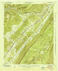
1946 Map of Hooker
USGS Topo · Published 1947About this map
Lookout Mountain and Slygo Ridge flank the broad corridor of Lookout Valley as it crosses the state line from Georgia into Tennessee. This mid-century survey illustrates the rural infrastructure that supported small communities like Morganville, Wildwood, and New England before the expansion of the modern interstate system. The landscape is defined by the Southern railroad and the Nashville Chattanooga And ST Louis line, which provided vital transit through the gaps. Cultural landmarks such as Sarah Chapel, West Brow School, and the Magill Cem are carefully documented alongside the western edge of Chickamauga and Chattanooga National Military Park. The abundance of family-named gaps and hollows, including Windy Gap, Stidmon Gap, and Pulltight Hollow, provides a clear view of the historical settlement patterns and local nomenclature of Dade County and the surrounding tri-state area.
Find a feature on this map
56 named features on this map. Tap any name to fly to it.
Don’t see what you’re looking for? This feature index may not catch every label — zoom into the map to look around manually.
Map Details
Editions of this 1946 Hooker Map
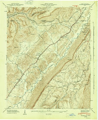
2 editions found
Other maps of this area

1886 · Ringgold
USGS Topo · 1:125,000

1886 · Stevenson
USGS Topo · 1:125,000

1888 · Chattanooga
USGS Topo · 1:125,000

1892 · Ringgold
USGS Topo · 1:125,000

1892 · Stevenson
USGS Topo · 1:125,000

1893 · Chattanooga
USGS Topo · 1:125,000

1895 · Stevenson
USGS Topo · 1:125,000

1895 · Sewanee
USGS Topo · 1:125,000

1935 · Durham
USGS Topo · 1:24,000

1936 · Trenton
USGS Topo · 1:24,000