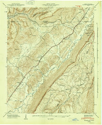
1946 Map of Hooker
USGS Topo · Published 1947About this map
Lookout Mountain and Sand Mountain dominate this mid-century landscape where Georgia, Tennessee, and Alabama nearly meet. The corridor between these ridges serves as a vital transport artery, featuring the Southern RR and the Nashville Chattanooga and Saint Louis RR threading through settlements like Morganville and Wildwood. Near the state line, the boundary of the Chickamauga and Chattanooga National Military Park follows the high eastern ridge, overlooking the valley’s network of family-named gaps and hollows. Local life centers on rural landmarks such as Sarah Chapel, North Dade Sch, and Bethlehem Ch. The terrain is marked by steep elevation changes, with Murphy Mountain and Tatum Mountain flanking the Lookout Creek basin, illustrating how the physical geography of the Appalachian plateau dictated the development of rail lines and farming communities in Dade County.
Find a feature on this map
65 named features on this map. Tap any name to fly to it.
Don’t see what you’re looking for? This feature index may not catch every label — zoom into the map to look around manually.
Map Details
Editions of this 1946 Hooker Map
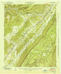
2 editions found
Other maps of this area

1886 · Ringgold
USGS Topo · 1:125,000

1886 · Stevenson
USGS Topo · 1:125,000

1888 · Chattanooga
USGS Topo · 1:125,000

1892 · Ringgold
USGS Topo · 1:125,000

1892 · Stevenson
USGS Topo · 1:125,000

1893 · Chattanooga
USGS Topo · 1:125,000

1895 · Stevenson
USGS Topo · 1:125,000

1895 · Sewanee
USGS Topo · 1:125,000

1935 · Durham
USGS Topo · 1:24,000

1936 · Trenton
USGS Topo · 1:24,000