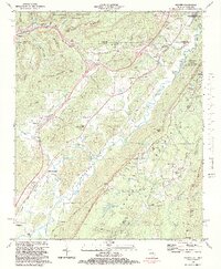
1982 Map of Hooker
USGS Topo · Published 1983About this map
Lookout Mountain and Raccoon Mountain dominate this landscape, defining the steep-sided Lookout Valley where local life centered in the early 1980s. The region is marked by a legacy of transportation and small communities, with the Southern RR and Nashville and Chattanooga RR following the natural contours of the valley floors. The map reveals a cluster of rural institutions that served the scattered populations of Morganville, New England, and Wildwood, including numerous local meeting houses like Bethlehem Ch and Slygo Ch. Family heritage is deeply embedded in the terrain, preserved through sites like Kennedy Cem, Haswell Cem, and Brock Cem. Along the eastern edge, the boundary of Chickamauga and Chattanooga National Military Park highlights the area's significance, while industry is represented by several active quarries and gravel pits tucked into the ridges.
Find a feature on this map
99 named features on this map. Tap any name to fly to it.
Don’t see what you’re looking for? This feature index may not catch every label — zoom into the map to look around manually.
Map Details
Editions of this 1982 Hooker Map
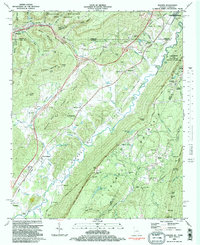
2 editions found
Other maps of this area

1886 · Ringgold
USGS Topo · 1:125,000

1886 · Stevenson
USGS Topo · 1:125,000

1888 · Chattanooga
USGS Topo · 1:125,000

1892 · Ringgold
USGS Topo · 1:125,000

1892 · Stevenson
USGS Topo · 1:125,000

1893 · Chattanooga
USGS Topo · 1:125,000

1895 · Stevenson
USGS Topo · 1:125,000

1895 · Sewanee
USGS Topo · 1:125,000

1935 · Durham
USGS Topo · 1:24,000

1936 · Trenton
USGS Topo · 1:24,000