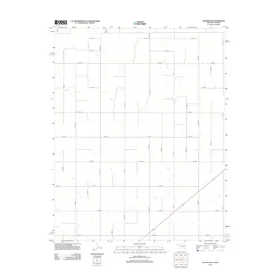
2012 Map of Hooker NW
USGS Topo · Published 2012About this map
Texas County, Oklahoma, is defined here by the uncompromising grid of section-line roads and the persistent agricultural development of the High Plains. Unlike more settled regions, this landscape is characterized by its geometric efficiency, with primary arteries like Co Hwy-18 and Co Hwy-11 cutting through a network of local roads such as N0990 Rd and E0030 Rd. This map reflects the modern era of rural land management in the Oklahoma Panhandle, showing the sparse placement of homesteads and the vital role of transit in a region where distances between neighbors are measured in miles of straight gravel and pavement. Significant secondary routes, including N1010 Rd and E0070 Rd, illustrate the connectivity required to sustain the expansive ranching and farming operations that dominate this territory north of the regional centers.
Find a feature on this map
22 named features on this map. Tap any name to fly to it.
Don’t see what you’re looking for? This feature index may not catch every label — zoom into the map to look around manually.
Map Details
Editions of this 2012 Hooker NW Map
This is the sole edition of this map. No revisions or reprints were ever made.
Other maps of this area

1954 · Perryton
USGS Topo · 1:250,000

1955 · Dodge City
USGS Topo · 1:250,000

1958 · Perryton
USGS Topo · 1:250,000

1958 · Dodge City
USGS Topo · 1:250,000

1959 · Dodge City
USGS Topo · 1:250,000

1967 · Straight NE
USGS Topo · 1:24,000

1967 · Optima
USGS Topo · 1:24,000

1967 · Hooker
USGS Topo · 1:24,000

1967 · Adams
USGS Topo · 1:24,000

1967 · Hooker NW
USGS Topo · 1:24,000