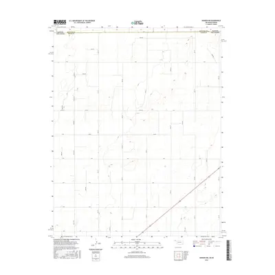
2016 Map of Hooker NW
USGS Topo · Published 2016About this map
The borderlands of the High Plains are defined here by a rigorous section-line road network that straddles the state line between Stevens County, Kansas and Texas County, Oklahoma. The landscape is dominated by a grid of numbered and lettered rural routes, such as Mile 44 Rd and Co Hwy D, which serve as the primary arteries for this agricultural region. This 2016 survey illustrates how modern infrastructure maintains the rigid geometric patterns established by the Public Land Survey System, with the terrain marked by occasional depressions and isolated local landmarks like E0030 Rd. The map reveals a sparsely settled but highly organized rural environment where the boundary between two states is navigated by a series of precisely spaced roads, including Road E and Mile 50.
Find a feature on this map
35 named features on this map. Tap any name to fly to it.
Don’t see what you’re looking for? This feature index may not catch every label — zoom into the map to look around manually.
Map Details
Editions of this 2016 Hooker NW Map
This is the sole edition of this map. No revisions or reprints were ever made.
Other maps of this area

1954 · Perryton
USGS Topo · 1:250,000

1955 · Dodge City
USGS Topo · 1:250,000

1958 · Perryton
USGS Topo · 1:250,000

1958 · Dodge City
USGS Topo · 1:250,000

1959 · Dodge City
USGS Topo · 1:250,000

1967 · Straight NE
USGS Topo · 1:24,000

1967 · Optima
USGS Topo · 1:24,000

1967 · Hooker
USGS Topo · 1:24,000

1967 · Adams
USGS Topo · 1:24,000

1967 · Hooker NW
USGS Topo · 1:24,000