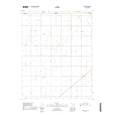
2018 Map of Hooker NW
USGS Topo · Published 2018About this map
The Kansas Oklahoma state line forms the northern boundary of this survey, where the High Plains of Stevens County and Texas County meet. This landscape is defined by the rigid precision of the Public Land Survey System, with township lines like t6n r17e and t5n r18e organizing the territory into a vast grid. The infrastructure follows this mathematical layout, characterized by a network of sectional roads including Co Hwy D, Road E, and Rd F. The terrain is marked by numerous small, seasonal water catchments and depressions typical of the Panhandle, scattered across the sections between thoroughfares like Rd G and Rd H. This 2018 data provides a clear look at the modern rural development and land divisions that continue to shape this interstate border region.
Find a feature on this map
26 named features on this map. Tap any name to fly to it.
Don’t see what you’re looking for? This feature index may not catch every label — zoom into the map to look around manually.
Map Details
Editions of this 2018 Hooker NW Map
This is the sole edition of this map. No revisions or reprints were ever made.
Other maps of this area

1954 · Perryton
USGS Topo · 1:250,000

1955 · Dodge City
USGS Topo · 1:250,000

1958 · Perryton
USGS Topo · 1:250,000

1958 · Dodge City
USGS Topo · 1:250,000

1959 · Dodge City
USGS Topo · 1:250,000

1967 · Straight NE
USGS Topo · 1:24,000

1967 · Optima
USGS Topo · 1:24,000

1967 · Hooker
USGS Topo · 1:24,000

1967 · Adams
USGS Topo · 1:24,000

1967 · Hooker NW
USGS Topo · 1:24,000