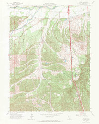
1965 Map of Hooker
USGS Topo · Published 1971About this map
The boundary between Shasta Co and Tehama Co follows the winding path of Cottonwood Creek in this mid-1960s survey of the northern Sacramento Valley. The Southern Pacific Railroad runs north-to-south through the center of the sheet, providing a primary transportation spine for the small settlement of Hooker. Agriculture and infrastructure are evident in the complex network of Canal systems and siphons that move water through the dry landscape.
Find a feature on this map
32 named features on this map. Tap any name to fly to it.
Don’t see what you’re looking for? This feature index may not catch every label — zoom into the map to look around manually.
Map Details
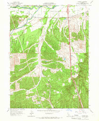
Editions of this 1965 Hooker Map
2 editions found
Other maps of this area

1890 · Red Bluff
USGS Topo · 1:250,000

1894 · Red Bluff
USGS Topo · 1:250,000

1905 · Tehama
USGS Topo · 1:62,500

1932 · Olinda
USGS Topo · 1:31,680

1935 · Olinda
USGS Topo · 1:31,680

1944 · Tuscan Buttes
USGS Topo · 1:62,500

1947 · Tuscan Buttes
USGS Topo · 1:62,500

1947 · Anderson
USGS Topo · 1:62,500

1948 · Anderson
USGS Topo · 1:62,500

1951 · Red Bluff East
USGS Topo · 1:24,000