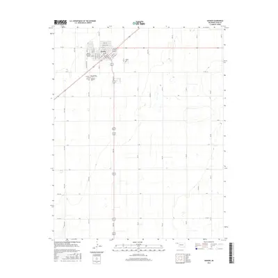
2016 Map of Hooker
USGS Topo · Published 2016About this map
Hooker serves as the focal point of this 2016 survey, showcasing a grid-based settlement pattern at the intersection of major regional routes in the Oklahoma Panhandle. The town's layout is defined by a dense street network including Main St, Broadway St, and Dewey Ave, reflecting its role as a local center of commerce and community. The land surrounding the town is strictly organized by section-line roads such as Co Hwy 7 and L Rd, illustrating the enduring impact of the Public Land Survey System on the Texas County landscape.
Find a feature on this map
47 named features on this map. Tap any name to fly to it.
Don’t see what you’re looking for? This feature index may not catch every label — zoom into the map to look around manually.
Map Details
Editions of this 2016 Hooker Map
This is the sole edition of this map. No revisions or reprints were ever made.
Other maps of this area

1954 · Perryton
USGS Topo · 1:250,000

1958 · Perryton
USGS Topo · 1:250,000

1967 · Straight NE
USGS Topo · 1:24,000

1967 · Optima
USGS Topo · 1:24,000

1967 · Hooker
USGS Topo · 1:24,000

1967 · Adams
USGS Topo · 1:24,000

1967 · Hooker NW
USGS Topo · 1:24,000

1967 · Tyrone
USGS Topo · 1:24,000

1968 · Optima Dam
USGS Topo · 1:24,000

1968 · Hardesty NE
USGS Topo · 1:24,000