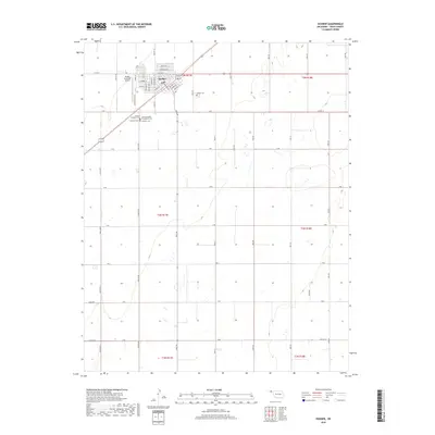
2018 Map of Hooker
USGS Topo · Published 2018About this map
The town of Hooker serves as the central hub of this High Plains landscape, situated at the intersection of a grid of agricultural section roads and the diagonal path of the highway. The town's layout is meticulously detailed, showing a dense residential and commercial core defined by streets like Main St, Broadway St, and Hickory St. Local infrastructure is anchored by the Hooker Municipal Airport to the west, while the community's heritage is reflected in several distinct burial grounds. These include the Hooker Cem, the Catholic Cem, and the uniquely named Lutheran Babyland Cem. Outside the town center, the landscape is dominated by the vast township and range system, with numbered mile roads such as Mile 45 and Mile 50 stretching across the panhandle's level terrain, marking the industrial-scale farming operations characteristic of Texas County.
Find a feature on this map
53 named features on this map. Tap any name to fly to it.
Don’t see what you’re looking for? This feature index may not catch every label — zoom into the map to look around manually.
Map Details
Editions of this 2018 Hooker Map
This is the sole edition of this map. No revisions or reprints were ever made.
Other maps of this area

1954 · Perryton
USGS Topo · 1:250,000

1958 · Perryton
USGS Topo · 1:250,000

1967 · Straight NE
USGS Topo · 1:24,000

1967 · Optima
USGS Topo · 1:24,000

1967 · Hooker
USGS Topo · 1:24,000

1967 · Adams
USGS Topo · 1:24,000

1967 · Hooker NW
USGS Topo · 1:24,000

1967 · Tyrone
USGS Topo · 1:24,000

1968 · Optima Dam
USGS Topo · 1:24,000

1968 · Hardesty NE
USGS Topo · 1:24,000