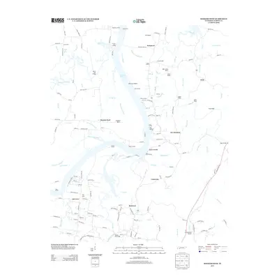
2013 Map of Hookers Bend
USGS Topo · Published 2013About this map
The Tennessee River corridor in Hardin County defines the character of this region, where the vast Kentucky Lake expands into complex backwaters like Wilkinson Pond Slough and Maple Slash Slough. This landscape is marked by its historic river crossings and commerce points, including the Saltillo Ferry and numerous traditional riverfront sites such as Cerro Gordo Landing, Farmers Union Landing, and Shannons Landing.
Find a feature on this map
155 named features on this map. Tap any name to fly to it.
Don’t see what you’re looking for? This feature index may not catch every label — zoom into the map to look around manually.
Map Details
Editions of this 2013 Hookers Bend Map
This is the sole edition of this map. No revisions or reprints were ever made.
Other maps of this area

1936 · Savannah
USGS Topo · 1:24,000

1936 · Wolf Pit Ridge
USGS Topo · 1:24,000

1936 · Hookers Bend
USGS Topo · 1:24,000

1936 · Thurman
USGS Topo · 1:24,000

1936 · Olivehill
USGS Topo · 1:24,000

1936 · Bath Springs
USGS Topo · 1:24,000

1936 · Sardis
USGS Topo · 1:24,000

1936 · Milledgeville
USGS Topo · 1:24,000

1936 · Pittsburg Landing
USGS Topo · 1:24,000

1949 · Hookers Bend
USGS Topo · 1:24,000