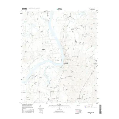
2016 Map of Hookers Bend
USGS Topo · Published 2016About this map
The Tennessee River and its intricate network of sloughs and bluffs define this landscape, with Petticoat Riffles and Davis Island marking the waterway's passage through Hardin County. The settlement patterns reflect a deep connection to the river and local creeks, where communities like Cerro Gordo, Saltillo, and Hookers Bend are situated near significant water features like Cypress Pond Slough and Maple Slash Slough.
Find a feature on this map
158 named features on this map. Tap any name to fly to it.
Don’t see what you’re looking for? This feature index may not catch every label — zoom into the map to look around manually.
Map Details
Editions of this 2016 Hookers Bend Map
This is the sole edition of this map. No revisions or reprints were ever made.
Other maps of this area

1936 · Savannah
USGS Topo · 1:24,000

1936 · Wolf Pit Ridge
USGS Topo · 1:24,000

1936 · Hookers Bend
USGS Topo · 1:24,000

1936 · Thurman
USGS Topo · 1:24,000

1936 · Olivehill
USGS Topo · 1:24,000

1936 · Bath Springs
USGS Topo · 1:24,000

1936 · Sardis
USGS Topo · 1:24,000

1936 · Milledgeville
USGS Topo · 1:24,000

1936 · Pittsburg Landing
USGS Topo · 1:24,000

1949 · Hookers Bend
USGS Topo · 1:24,000