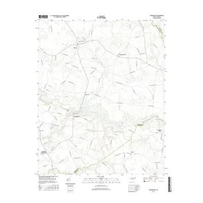
2016 Map of Hookerton
USGS Topo · Published 2016About this map
Contentnea Creek winds through this coastal plain landscape, defining the topography of Greene County and neighboring Lenoir and Pitt counties. The settlement of Hookerton serves as a central hub, surrounded by a network of smaller communities including Maury, Ormondsville, and Hugo. This modern survey illustrates the persistent rural character of the region, where unique wetland features like Half Moon Pocosin and Rices Pocosin contrast with the agricultural road network. Local history is anchored by landmarks such as the Rainbow Cem near Rainbow Cr, while the aviation footprint of Chase Field sits just north of the Hookerton town center. The drainage patterns of Mussel Run, Beaverdam Run, and Wheat Swamp further reveal the intricate water system that has influenced land use and property boundaries for generations.
Find a feature on this map
79 named features on this map. Tap any name to fly to it.
Don’t see what you’re looking for? This feature index may not catch every label — zoom into the map to look around manually.
Map Details
Editions of this 2016 Hookerton Map
This is the sole edition of this map. No revisions or reprints were ever made.
Other maps of this area

1902 · Ayden
USGS Topo · 1:62,500

1903 · Winterville
USGS Topo · 1:62,500

1904 · Ayden
USGS Topo · 1:62,500

1904 · Falkland
USGS Topo · 1:62,500

1905 · Winterville
USGS Topo · 1:62,500

1914 · Kinston
USGS Topo · 1:48,000

1916 · Kinston
USGS Topo · 1:62,500

1953 · Rocky Mount
USGS Topo · 1:250,000

1954 · Rocky Mount
USGS Topo · 1:250,000
1981 · Farmville
USGS Topo · 1:24,000