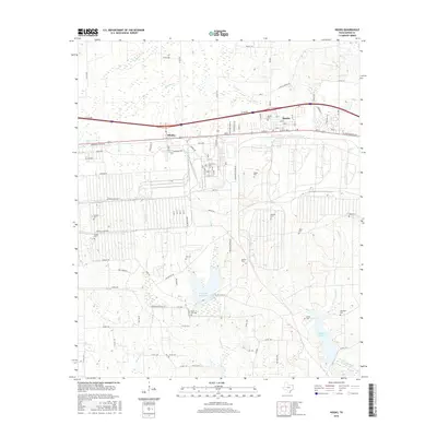
2016 Map of Hooks
USGS Topo · Published 2016About this map
The town of Hooks sits at the northern end of this Bowie County landscape, serving as a hub for the surrounding rural territory. The map reveals a dense network of family-named burial grounds and small settlements that speak to the deep genealogical roots of the area. Just west of the main town lies Whaley, while to the south, the terrain is defined by water management and creek systems. Significant water bodies like Caney Cr Reservoir and Elliott Cr Reservoir break up the wooded and agricultural plots, while numerous creeks including Barkman Cr, Panther Cr, and Nettles Cr drain the landscape.
Find a feature on this map
104 named features on this map. Tap any name to fly to it.
Don’t see what you’re looking for? This feature index may not catch every label — zoom into the map to look around manually.
Map Details
Editions of this 2016 Hooks Map
This is the sole edition of this map. No revisions or reprints were ever made.
Other maps of this area

1909 · New Boston
USGS Topo · 1:62,500

1909 · Texarkana
USGS Topo · 1:62,500

1950 · Redbank
USGS Topo · 1:24,000

1950 · Barkman
USGS Topo · 1:24,000

1951 · Redbank
USGS Topo · 1:24,000

1951 · Barkman
USGS Topo · 1:24,000

1951 · Daniels Chapel
USGS Topo · 1:24,000

1953 · Texarkana
USGS Topo · 1:250,000

1954 · New Boston
USGS Topo · 1:24,000

1954 · Leary
USGS Topo · 1:24,000