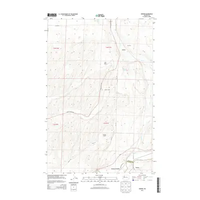
2014 Map of Hooper
USGS Topo · Published 2014About this map
The Palouse River winds through the southern portion of this landscape at the border of Adams and Whitman counties. This 2014 survey documents a region defined by its distinct basalt coulees, such as Staley Coulee and Holliday Coulee, and a sparse network of ranching and transportation hubs. The small community of Hooper and the nearby Hooper Junction serve as focal points along Wa-26, reflecting the area's agricultural and transit-oriented character. Historic travel routes are well represented by Mullan Rd, while aviation infrastructure is noted at the Gray Ranch Airport. Smaller water features and landmarks, including Green Lake and the Bar U Ranch near Ankeny, provide specific points of interest for those researching local land use and family holdings in this part of Washington's inland empire.
Find a feature on this map
26 named features on this map. Tap any name to fly to it.
Don’t see what you’re looking for? This feature index may not catch every label — zoom into the map to look around manually.
Map Details
Editions of this 2014 Hooper Map
This is the sole edition of this map. No revisions or reprints were ever made.
Other maps of this area

1923 · Washtucna
USGS Topo · 1:62,500

1925 · Washtucna
USGS Topo · 1:62,500

1948 · Starbuck
USGS Topo · 1:62,500

1948 · Ayer
USGS Topo · 1:62,500

1950 · Starbuck
USGS Topo · 1:62,500

1950 · Haas
USGS Topo · 1:62,500

1950 · Benge
USGS Topo · 1:62,500

1952 · Benge
USGS Topo · 1:62,500

1953 · Walla Walla
USGS Topo · 1:250,000

1958 · Walla Walla
USGS Topo · 1:250,000