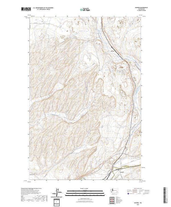
2023 Map of Hooper
USGS Topo · Published 2023About this map
The Palouse River winds along the southern border of this landscape, marking the boundary between Adams and Whitman Counties near the settlement of Hooper. This region is defined by its dramatic drainage patterns, where Staley Coulee and Holliday Coulee cut through the high plateau. The modern mapping of the Columbia Plateau State Park Trail follows a significant historic corridor through the coulees, tracing a path adjacent to Cow Creek toward the northern reaches of the quadrangle. Small water bodies like Lost Lake and Green Lake punctuate the arid terrain, while local thoroughfares such as Sutton Rd and Mullan Rd provide access to the area around Ankeny. The map illustrates a sparse, agrarian settlement pattern that remains centered on the river and rail corridors that originally opened the Palouse to development.
Find a feature on this map
25 named features on this map. Tap any name to fly to it.
Don’t see what you’re looking for? This feature index may not catch every label — zoom into the map to look around manually.
Map Details
Editions of this 2023 Hooper Map
This is the sole edition of this map. No revisions or reprints were ever made.
Other maps of this area

1923 · Washtucna
USGS Topo · 1:62,500

1925 · Washtucna
USGS Topo · 1:62,500

1948 · Starbuck
USGS Topo · 1:62,500

1948 · Ayer
USGS Topo · 1:62,500

1950 · Starbuck
USGS Topo · 1:62,500

1950 · Haas
USGS Topo · 1:62,500

1950 · Benge
USGS Topo · 1:62,500

1952 · Benge
USGS Topo · 1:62,500

1953 · Walla Walla
USGS Topo · 1:250,000

1958 · Walla Walla
USGS Topo · 1:250,000