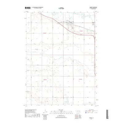
2017 Map of Hooper
USGS Topo · Published 2017About this map
Hooper sits at the northern edge of this Dodge County landscape, positioned near the meandering course of the Elkhorn River. The town's grid is clearly defined by local streets such as W Howard St and E Fulton St, while its history is anchored by the Hooper Cem on the eastern outskirts. To the west, the Saint Rose of Lima Cem serves as a distinct landmark along Co Rd J.
Find a feature on this map
38 named features on this map. Tap any name to fly to it.
Don’t see what you’re looking for? This feature index may not catch every label — zoom into the map to look around manually.
Map Details
Editions of this 2017 Hooper Map
This is the sole edition of this map. No revisions or reprints were ever made.
Other maps of this area

1893 · Fremont
USGS Topo · 1:125,000

1896 · Fremont
USGS Topo · 1:125,000

1899 · Wahoo
USGS Topo · 1:125,000

1955 · Fremont
USGS Topo · 1:250,000

1957 · Fremont
USGS Topo · 1:250,000

1958 · Fremont
USGS Topo · 1:250,000

1966 · Scribner SW
USGS Topo · 1:24,000

1966 · Uehling
USGS Topo · 1:24,000

1966 · Nickerson
USGS Topo · 1:24,000

1966 · Hooper
USGS Topo · 1:24,000