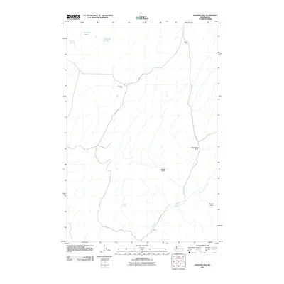
2011 Map of Hooper Lake
USGS Topo · Published 2011About this map
McGregor Ranch and Gordon Farm anchor the northern landscape of this agricultural region in Whitman County, where rural life revolves around the water sources and winding roads of the Palouse. The terrain is defined by a series of deep drainages, including Woods Gulch, Rock Spring Gulch, and McCard Gulch, which cut through the high plateau toward the winding course of Alkali Flat Creek and the Canyon in the south.
Find a feature on this map
16 named features on this map. Tap any name to fly to it.
Don’t see what you’re looking for? This feature index may not catch every label — zoom into the map to look around manually.
Map Details
Editions of this 2011 Hooper Lake Map
This is the sole edition of this map. No revisions or reprints were ever made.
Other maps of this area

1948 · Starbuck
USGS Topo · 1:62,500

1950 · La Crosse
USGS Topo · 1:62,500

1950 · Starbuck
USGS Topo · 1:62,500

1950 · Hay
USGS Topo · 1:62,500

1950 · Benge
USGS Topo · 1:62,500

1952 · Hay
USGS Topo · 1:62,500

1952 · La Crosse
USGS Topo · 1:62,500

1952 · Benge
USGS Topo · 1:62,500

1953 · Walla Walla
USGS Topo · 1:250,000

1955 · Pullman
USGS Topo · 1:250,000