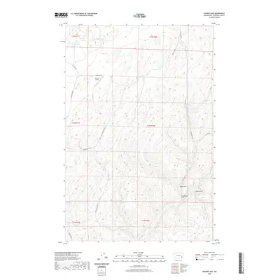
2020 Map of Hooper Lake
USGS Topo · Published 2020About this map
McGregor Airport sits central to this Whitman County landscape, serving as a rare point of modern infrastructure amidst a complex network of seasonal water bodies and varied drainage systems. This 2020 survey details a unique hydrologic environment where Hooper Lake, McGregor Lakes, and Clear Lake dot the northern plateau. The terrain is defined by its deep incisions, notably Woods Gulch and Rock Spring Gulch, which channel toward the south. The land use patterns here are evident in the orientation of roads like Mc Gregor Rd and Hooper Canyon Rd, which navigate the coulees and flats. Water sources remain critical landmarks for navigation and land management, with named sites such as Mays Spring, Rock Spring, and the curiously named Goldfish Spring providing localized geographic anchors within the larger Thomas Flat region.
Find a feature on this map
24 named features on this map. Tap any name to fly to it.
Don’t see what you’re looking for? This feature index may not catch every label — zoom into the map to look around manually.
Map Details
Editions of this 2020 Hooper Lake Map
This is the sole edition of this map. No revisions or reprints were ever made.
Other maps of this area

1948 · Starbuck
USGS Topo · 1:62,500

1950 · La Crosse
USGS Topo · 1:62,500

1950 · Starbuck
USGS Topo · 1:62,500

1950 · Hay
USGS Topo · 1:62,500

1950 · Benge
USGS Topo · 1:62,500

1952 · Hay
USGS Topo · 1:62,500

1952 · La Crosse
USGS Topo · 1:62,500

1952 · Benge
USGS Topo · 1:62,500

1953 · Walla Walla
USGS Topo · 1:250,000

1955 · Pullman
USGS Topo · 1:250,000