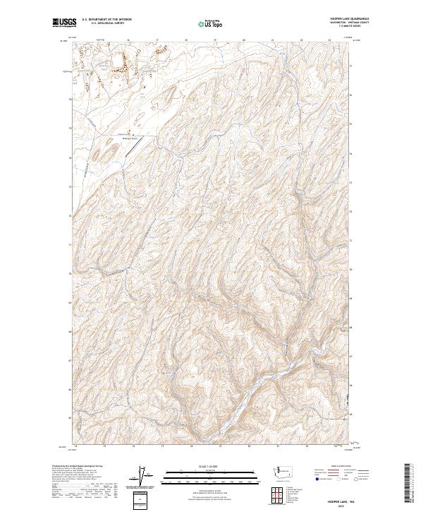
2023 Map of Hooper Lake
USGS Topo · Published 2023About this map
McGregor Airport and the surrounding rangeland of Whitman County characterize this contemporary survey of the Palouse region. The landscape is defined by deep coulees and seasonal drainages, most notably Alkali Flat Creek and Woods Gulch, which cut through the high plateau. While the area is dominated by agricultural and grazing land, several natural water sources are vital to the local ecology, including Hooper Lake, Clear Lake, and the clustered McGregor Lakes. A network of rural routes such as Hammer Grade Rd and Hooper Canyon Rd provides access across the township lines. Scattered springs like Mays Spring and Adairia Spring indicate the essential water points that have historically supported ranching operations in this portion of Eastern Washington.
Find a feature on this map
24 named features on this map. Tap any name to fly to it.
Don’t see what you’re looking for? This feature index may not catch every label — zoom into the map to look around manually.
Map Details
Editions of this 2023 Hooper Lake Map
This is the sole edition of this map. No revisions or reprints were ever made.
Other maps of this area

1948 · Starbuck
USGS Topo · 1:62,500

1950 · La Crosse
USGS Topo · 1:62,500

1950 · Starbuck
USGS Topo · 1:62,500

1950 · Hay
USGS Topo · 1:62,500

1950 · Benge
USGS Topo · 1:62,500

1952 · Hay
USGS Topo · 1:62,500

1952 · La Crosse
USGS Topo · 1:62,500

1952 · Benge
USGS Topo · 1:62,500

1953 · Walla Walla
USGS Topo · 1:250,000

1955 · Pullman
USGS Topo · 1:250,000