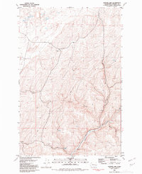
1981 Map of Hooper Lake
USGS Topo · Published 1981About this map
McGregor Lakes and the surrounding coulee landscape of Whitman County define this 1981 survey of the Palouse region. The map highlights a remote agricultural and ranching environment, centered on the McGregor Ranch and vital water sources like Hooper Lake and Clear Lake. The presence of several named springs, including Goldfish Spring and Adams Spring, underscores the importance of water management in this arid terrain.
Find a feature on this map
26 named features on this map. Tap any name to fly to it.
Don’t see what you’re looking for? This feature index may not catch every label — zoom into the map to look around manually.
Map Details
Editions of this 1981 Hooper Lake Map
This is the sole edition of this map. No revisions or reprints were ever made.
Other maps of this area

1948 · Starbuck
USGS Topo · 1:62,500

1950 · La Crosse
USGS Topo · 1:62,500

1950 · Starbuck
USGS Topo · 1:62,500

1950 · Hay
USGS Topo · 1:62,500

1950 · Benge
USGS Topo · 1:62,500

1952 · Hay
USGS Topo · 1:62,500

1952 · La Crosse
USGS Topo · 1:62,500

1952 · Benge
USGS Topo · 1:62,500

1953 · Walla Walla
USGS Topo · 1:250,000

1955 · Pullman
USGS Topo · 1:250,000