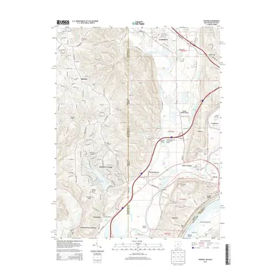
2013 Map of Hooven
USGS Topo · Published 2013About this map
The Whitewater River and Great Miami River converge in this tri-state borderland where Ohio, Indiana, and Kentucky meet. The landscape is defined by the heavy infrastructure of the river-and-rail economy, including the CSX Transportation lines and river crossings like the Suspension Bridge and Lost Bridge. Settlement patterns range from established river towns like Cleves and Elizabethtown to the residential development of Hidden Valley surrounding Hidden Valley Lake. Genealogists will find a high concentration of local burial sites, such as the Harrisons Tomb State Cem and Sugar Ridge Cem, while the inclusion of the Lost Bridge Airport reflects the continued significance of this transit corridor. The confluence of the Ohio River at the southern edge of the map anchors the industrial and residential character of North Bend and Greendale.
Find a feature on this map
77 named features on this map. Tap any name to fly to it.
Don’t see what you’re looking for? This feature index may not catch every label — zoom into the map to look around manually.
Map Details
Editions of this 2013 Hooven Map
This is the sole edition of this map. No revisions or reprints were ever made.
Other maps of this area

1914 · West Cincinnati
USGS Topo · 1:62,500

1915 · Lawrenceburg
USGS Topo · 1:48,000

1915 · Harrison
USGS Topo · 1:48,000

1915 · Hamilton
USGS Topo · 1:62,500

1917 · Hamilton
USGS Topo · 1:62,500

1928 · Lawrenceburg
USGS Topo · 1:62,500

1932 · Lawrenceburg
USGS Topo · 1:62,500

1943 · Aurora
USGS Topo · 1:24,000

1943 · Hooven
USGS Topo · 1:24,000

1943 · Guilford
USGS Topo · 1:24,000