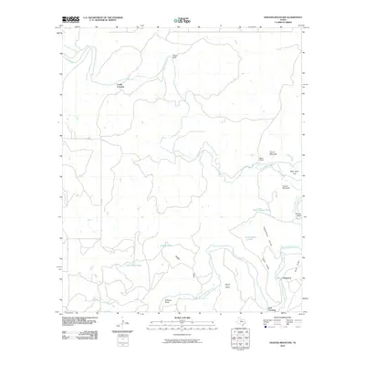
2010 Map of Hoover Mountain
USGS Topo · Published 2010About this map
The Clear Fork Brazos River winds through this section of Throckmorton County, defining a landscape of sharp bends and named crossings. Historical transit points like Coody Crossing and M K Crossing suggest the importance of river access in this cattle-country environment, while Dug Ford provides another specific point of interest for researchers tracing old routes through the brush and canyonlands. The topography is marked by several distinct elevations, including Hoover Mountain and Round Mountain, which overlook the broader Round Valley.
Find a feature on this map
24 named features on this map. Tap any name to fly to it.
Don’t see what you’re looking for? This feature index may not catch every label — zoom into the map to look around manually.
Map Details
Editions of this 2010 Hoover Mountain Map
This is the sole edition of this map. No revisions or reprints were ever made.
Other maps of this area

1891 · Anson
USGS Topo · 1:125,000

1892 · Albany
USGS Topo · 1:125,000

1893 · Albany
USGS Topo · 1:125,000

1893 · Anson
USGS Topo · 1:125,000

1954 · Abilene
USGS Topo · 1:250,000

1954 · Wichita Falls
USGS Topo · 1:250,000

1958 · Wichita Falls
USGS Topo · 1:250,000

1958 · Abilene
USGS Topo · 1:250,000

1965 · Lueders NE
USGS Topo · 1:24,000

1965 · Collins Creek
USGS Topo · 1:24,000