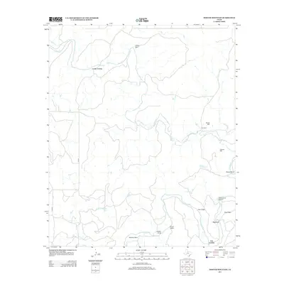
2013 Map of Hoover Mountain
USGS Topo · Published 2013About this map
Coody Crossing and M K Crossing mark critical points of transit across this Throckmorton County landscape, where winding watercourses define the layout of ranching life. The Clear Fork of the Brazos River meanders through the southern half of the quadrangle, creating prominent landforms like Shinnery Bend and Burkett Bend. These sharp river curves are complemented by land features such as Cedar Ridge and Round Valley, illustrating the topographically varied character of north-central Texas.
Find a feature on this map
22 named features on this map. Tap any name to fly to it.
Don’t see what you’re looking for? This feature index may not catch every label — zoom into the map to look around manually.
Map Details
Editions of this 2013 Hoover Mountain Map
This is the sole edition of this map. No revisions or reprints were ever made.
Other maps of this area

1891 · Anson
USGS Topo · 1:125,000

1892 · Albany
USGS Topo · 1:125,000

1893 · Albany
USGS Topo · 1:125,000

1893 · Anson
USGS Topo · 1:125,000

1954 · Abilene
USGS Topo · 1:250,000

1954 · Wichita Falls
USGS Topo · 1:250,000

1958 · Wichita Falls
USGS Topo · 1:250,000

1958 · Abilene
USGS Topo · 1:250,000

1965 · Lueders NE
USGS Topo · 1:24,000

1965 · Collins Creek
USGS Topo · 1:24,000